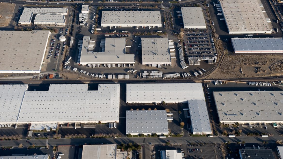
Commercial Real Estate
Our drone services provide precise, accurate representations of properties across your portfolio, so you can make informed decisions for capital projects, planning, and preventative maintenance. Collect the information you need nationwide, at scale, from a remote location – including data for asset valuation, interior captures, facade, paving, roof inspections, and property condition analysis.
Drive value for your most important investment. Together, we can collect precise data on your properties to make the most accurate representation of your portfolio and maximize your building life and performance over time.
Access Every Detail at Any Moment
Advanced data capture gives you 3D mapping and computer vision that’s more reliable than the naked eye. DroneUp delivers accurate, high-resolution imagery so you can collect detailed information at scale from two, two hundred, or even two thousand properties.
Do More with Less – Faster and Safer
Eliminate expensive field inspections for routine information, get views from angles your team can’t access, make it easy to do frequent preventative maintenance, improve operating efficiency, and document everything safely from the ground.
Maximize Your Investment
Use our precise data insights to make informed investment decisions and improve your buildings’ life and performance over time. Developing capital budgets has never been easier when you have the data to back findings and recommendations.
Know More About Your Portfolio [Faster and From Anywhere].
Whether you’re buying or selling, every property detail matters, but traditional methods can’t provide the level of insights needed today. DroneUp’s end-to-end aerial imaging & insights solutions can help you cut costs and save time by using enhanced data to improve maintenance schedules and more. Our experienced aviation team, nationwide network, and best-in-class software make it easier and faster to get precise data — without leaving your desk.
Better Insights
- Precise measurements (roof, property, lot size)
- Multi-site facilities management
- Portfolio management
- Remote site inspections (including facade)
- Image captures for marketing (exterior and interior)
Easy-To-Access Deliverables
- High-resolution imagery
- Interactive 3D modeling / orthomosaics
- 360° panorama images
- Construction progress tracking & monitoring
- Aerial photography and videography (2D & 3D)
- 3D virtual tours / 360° interior modeling
“Our work with DroneUp is professional, timely, has tremendous quality, great content, and they’re a great group of people to work with.”
– David Stewart, National Technical Business Development Account Executive – Acquisition Services, EBI Consulting