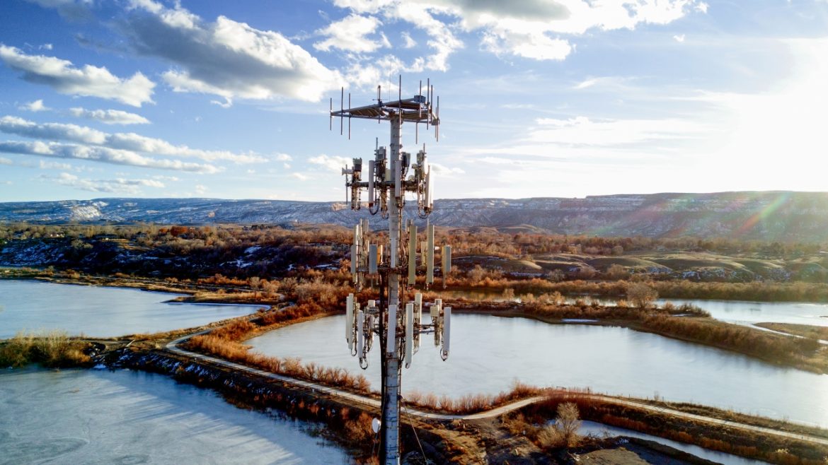
Infrastructure & Utilities
Our drone services help you facilitate component fault ID, avoid accessibility issues, vegetation encroachment, and minimum height and clearance distances for line and tower inspections. DroneUp’s experts capture high-resolution images, 2D & 3D models, and digital twins for increased project turnaround, volume, and revenue – all safely from the ground.
Use drone resources to access remote locations for assessments, inspections, and ongoing maintenance.
Reduce Cost
Gather data on your assets while eliminating expensive hourly rates on traditional methods and resources.
Improve Data
The precision of drone data improves accuracy and quality while reducing inspection risk, time, and cost. Let’s connect!
Let’s connect to see how you can benefit [from data made simple].
- High-resolution georeferenced photos
- RGB, Thermal, and Multispectral data sets
- Comprehensive asset inspections
- Asset management
- AI analytics
- Line-of-sight analysis
- Grounding analysis
- Digital twins
- 3D models
- 360° view
- Point clouds